Software features
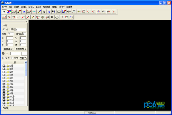
1 Vect2000 is different from general vectorization software. It uses the overall image recognition method to fully automatically and intelligently identify straight lines and curves, maintain the integrity of straight lines and curves, and perform intelligent processing on broken lines and intersections: connect broken lines as much as possible according to the direction of inertia, and use multiple intersection processing methods to correctly handle intersection lines.
2 Amazing raster-like vector editing. Vector eraser and vector pen tools are provided, making editing vector graphics as easy as editing raster images.
3 Completely open symbol system. Users can assign symbol attributes to various defined symbols, and can also customize various symbols.
4 Custom attribute description.
A complete solution for digitizing 5 large-scale topographic maps/cadastral maps.
A complete solution for 6-contour digitization.
Automatic extraction and assignment of 7 polygons, enabling digitization of land patch maps.
There is a complete set of solutions for automatic extraction of 8 boundary address points.
9 automatic extraction of houses, with strong anti-interference ability.
10 Fast fully automatic vectorization algorithm and multiple interactive tracking methods.
11 Automatic binarization of color or grayscale images, dynamic threshold technology based on neuron network.
12 Fully integrated with 4D technology, one set of software can complete a variety of tasks.
13 Integrated with the SZCT digital mapping/mapping system based on AutoCAD.


Useful
Useful
Useful