


Computer offline map software supports computer offline map viewing.Users can develop functions for special needs.
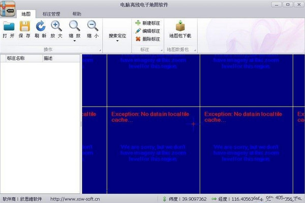
1. Supports Google online (offline) hybrid maps and ordinary maps, and you can choose to switch on the software interface;
2. Supports free zooming of maps from levels 1 to 20, and right-click dragging to roam.
3. Supports downloading image format selection, including Jpg, Png, Gif, and Bmp.
4. Supports name query and positioning. You can enter the location name and locate the queried location.
5. Supports coordinate query and positioning. You can enter the coordinate value and locate the queried position.
6. Support user-defined information, component information query, and real-time positioning of query results.
7. Supports clicking on the selected annotation on the map to view detailed information.
8. Supports adding map markers, distance measurement display, and location name display.
9. Supports saving the files you are currently operating for opening and reusing in the future to ensure that the operations will not be lost.
10. Support adding custom logo icons, users can change the icons


Useful
Useful
Useful