


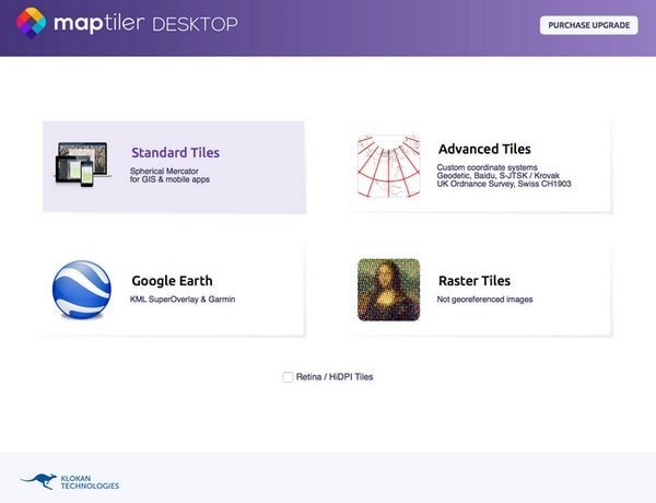
MapTiler software features
1. Easy to use
MapTiler supports converting images into interactive map layers that can be displayed on mobile phones, tablets, GPS devices, map mashups, or websites opened in desktop GIS software, Google Maps, or Google Earth. The step-by-step interface will do it for you.
2. Assign location
If your map already contains computer-readable locations, it will be loaded automatically. Otherwise, an image, scanned map or map created by the designer can be positioned using a set of coordinates or even visually. It's fast and precise.
3. Host maps anywhere
Use the included Amazon S3 or Google Cloud Storage cloud uploader or simply drag and drop the MapTiler-generated folder into any standard web hosting. You can use an existing corporate web server or free hosting such as Google Drive or DropBox.
4. Web and Mobile ready
The generated map tiles come with a ready-to-use open source viewer powered by Leaflet, OpenLayers, Google Maps API, WebGL Earth, OL3-Cesium, MapBox JS or ArcGIS API for JavaScript.
You just add the markup or other functionality required by your web application. MapTiler automatically generates map formats native to mobile application developers. Using our app templates, you can easily create your own mobile app to display markers and GPS locations on the map, even in offline mode.
MapTiler function introduction
1. Fast data processing
The official version of MapTiler supports converting data into maps with all the functions of a computer.
2. Free map hosting
Host mapping anytime, anywhere: on the server, in the cloud, behind the firewall, or even offline.
3. Your data is protected
Control where data is processed: in the infrastructure, private cloud or public cloud.
4. Network and mobile preparation
Display the map on the web or in an app. Available for Android, iOS or desktop GIS.
MapTiler update log
1. Fix bugs in the previous version
2. Optimize some functions
Huajun editor recommends:
If you are dazzled by the introduction of so many functions above, then download MapTiler quickly. This site also providesGoogle Earth Chinese version,Shanghai World Expo Online Tour,Hydrological Frequency Intelligent Analysis System,KStars,OpenCPNWaiting for you to download.


Useful
Useful
Useful