


SXEarth is a free three-dimensional digital earth system and simulation product. It can be used in virtual reality, digital cities, digital transportation, military combat situation mapping, accident process simulation, geography education and other industries. Software mainly used for rapid visualization of geographic data and visualization applications in the simulation industry.

Software features
1. Support 2D and 3D linkage;
2. Support graphic drawing;
3. Support situation mapping;
4. Support path animation editing;
5. Supports 2D and 3D multi-touch operations;
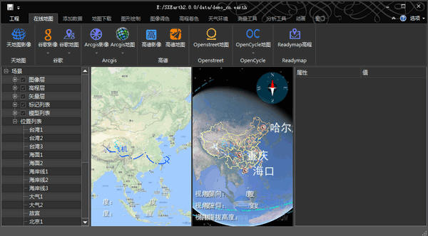
6. Supports direct reading of images, elevations, and vector data in GIS industry standard formats and three-dimensional visual display;
7. Support editing of display style attributes of images, elevations, and vectors;
8. Support mouse click addition and position and attitude attribute editing of external 3D models;
9. Support dynamic camera viewpoint mouse click addition and attribute editing;
10. Support distance, area, and angle measurement;
11. Support point mark, line mark, surface mark addition and attribute editing;
12. Supports exporting point, line and surface markers into ESRI ShapeFile files;
13. Support standard online map services, such as TMS, WMS, ARCGIS, XYZ, etc.;
14. Support the output of local GIS standard format image elevation data into a pyramid library;
15. Support standard online map service data packaging and output as a local pyramid library;
Change log
1. Add online vector reading plug-in feature_xyz
2. Add custom configuration elevation coloring
3. Fix the problem of slow opening of elevation shading
4. Fix the problem that the elevation cannot be cached
5. Repair the problem of insufficient image display accuracy.
6. Fix the problem of system instability when modifying custom particles


Useful
Useful
Useful