


GIS For CAD plug-inFeatures
GIS For CAD plug-in is a function suite based on AutoCAD, which provides a series of GIS functions. Through this plug-in, you can easily import and export vector files in various formats such as SHP, MDB, Kml, Kmz, Gpx, GeoJson, EXCEL, TXT, CSV, etc. in AutoCAD, and supports the import and export of multiple databases such as SQL Server, MySQL, PostgreSQL, etc.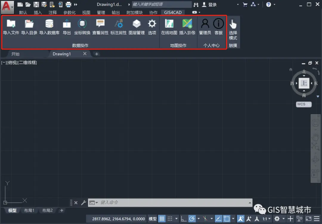
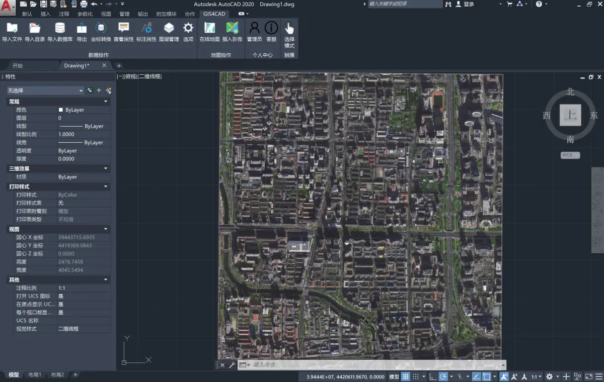
At the same time, the GIS For CAD plug-in also supports loading online image maps from Amap, Baidu, Tencent, Bing, and ArcGIS. It allows you to easily browse maps across the country in CAD software and draw on the map, which is very convenient and practical.
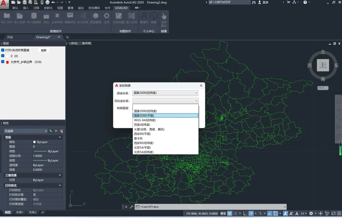
In addition, the GIS For CAD plug-in also supports coordinate conversion of National 2000, Xi'an 80, Beijing 54, WGS84, Mars coordinates, Baidu coordinates, and Mercator in AutoCAD, allowing you to flexibly convert between different coordinate systems.
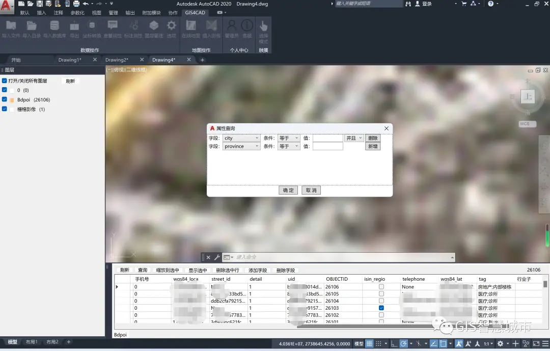
Of course, in addition to the above functions, the GIS For CAD plug-in also provides practical functions such as rich layer management, custom field creation, attribute query, and double-click positioning. These functions make it easier for you to view and edit feature attributes and build a GIS database in AutoCAD.
All in all, if you are a user who needs to frequently use CAD software for geographic information processing, then the GIS For CAD plug-in is definitely a good and indispensable assistant for you. It makes your work more efficient and convenient, allowing you to get twice the result with half the effort!
GIS For CAD plug-in update log:
Developer GG said there are really no bugs this time~
Huajun editor recommends:
The GIS For CAD plug-in is one of the best software in the industry. I believe many friends will have used it. If you don’t use it anymore, you will be out. This site also prepares for youHaochen CAD,Yaochuang CAD,Huiyi CAD,CAD Viewer,Quick CAD viewing software


Your comment needs to be reviewed before it can be displayed