If you are looking for software to use, go to Huajun Software Park! software release AI product list

Hello, if there is a need for software inclusion, please package the software and attach the software name, software introduction, software-related screenshots, software icon, soft copy, business license (if you do not have a business license, please provide the front and back of the corresponding developer ID card and a photo of yourself holding the ID card), and send it to email http://softwaredownload4.com/sbdm/user/login

Close >>

Send to email:news@onlinedown.net

Close >>

Location: Home pagePC softwaremanagement softwareEngineering construction Coordinate conversion tool (PanGeoMatics)
Coordinate conversion tool (PanGeoMatics)

Coordinate conversion tool (PanGeoMatics) v1.0 green free version

QR code
  • Software licensing: free software
  • Software size: 0.84MB
  • Software rating:
  • Software type: Domestic software
  • Update time: 2024-12-30
  • Application platform: winall
  • Software language: Simplified Chinese
  • Edition: v1.0 green free version

Download the service agreement at the bottom of the page

Software introduction Related topics FAQ Download address

Basic introduction
Coordinate conversion tool (PanGeoMatics) paragraph first LOGO
A professional coordinate conversion software for surveyors.

Basic introduction

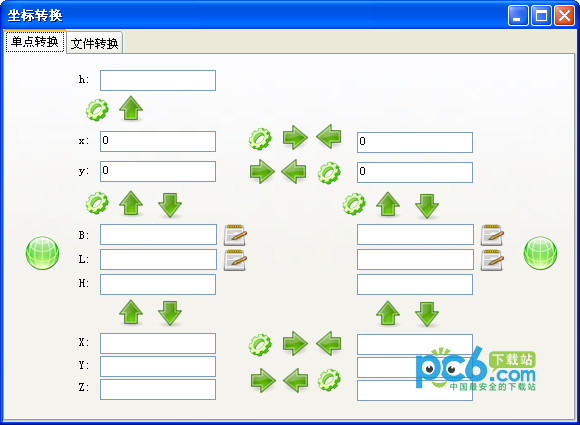
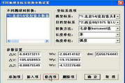
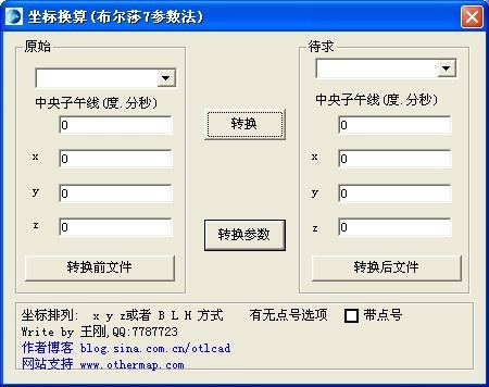
Coordinate conversion, belt change, etc. are very convenient and are a must-have tool for surveyors. It can meet the needs of surveyors, geologists, scientific researchers, engineering and technical personnel, etc., to learn and apply map knowledge and coordinate knowledge; it can convert longitude, latitude and kilometer network coordinates in three sets of coordinate systems; it can perform coordinate conversion between Beijing 54 coordinate system, Xi'an 80 coordinate system, and WGS84 (National 2000) coordinate system; it can perform cross-zone coordinate conversion for coordinate points across two zones; it can convert coordinate points in the six-degree zone, the three-degree zone, and the one-and-a-half-degree zone. Use fuzzy technology to extract and process various data and output intuitive conversion results.
It can also complete numerical calculations, expression calculations, complex formula calculations, angle transformations, base conversions, mathematical statistics, calculation of surface shape, calculation of distance and orientation of points, etc. As the software version is upgraded, more modules will be gradually provided.

FAQ

Coordinate conversion tool (PanGeoMatics)

Coordinate conversion tool (PanGeoMatics) v1.0 green free version

close