


- Green versionView
- Green versionView
- Green versionView
- Green versionView
- Green versionView

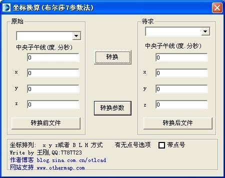
Introduction to universal coordinate conversion function
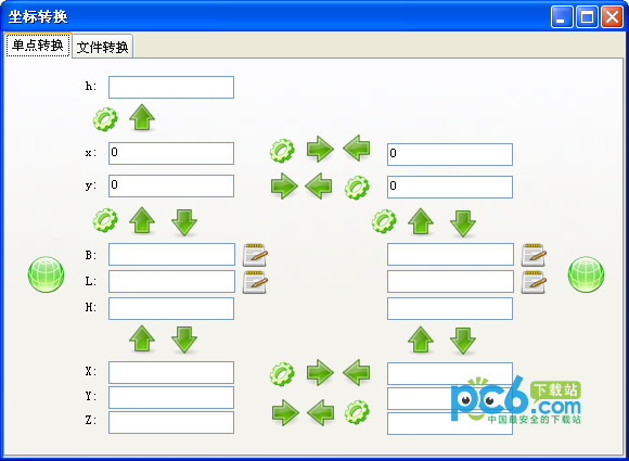
① Display longitude and latitude in degrees, minutes and seconds format, which is simple and easy to understand;
② Four new foreign coordinate types have been added to meet the needs of foreign surveying and mapping work;
③Added central meridian longitude data to handle a larger working range;
④The method of storing and retrieving coordinates has been modified to make it more operable and flexible;
⑤Add new calculation atlas module;
⑥Optimized the help document.
Universal coordinate conversion installation tutorial
1. Download from this siteAfter universal coordinate conversion, a compressed package is obtained locally on the computer, use360 compressionAfter decompressing the tool, double-click the .exe file to enterUniversal coordinate conversion installation guide, click [Next] to continue the installation.

2. EnterIn the universal coordinate conversion installation agreement interface, you can first read the terms in the agreement. After reading, click "I agree to the terms in the agreement", and then click [Next].

3. Enter the user information, you can enter it yourself, and then click [Next].

4. OptionsFor the universal coordinate conversion installation location, you can click [Next] and the software will be installed by default. Or you can click [Browse] on the pop-up installation location interface, and you can choose it yourself.Universal coordinate conversion installation location, click [Next] after selecting.

5. Prepare to installUniversal coordinate conversion, click [Next] to continue the installation.

6.Universal coordinate conversion is being installed, you just need to wait patiently for the installation to complete.

7.When the universal coordinate conversion installation is completed, click [Finish] to exit the software installation.

Universal coordinate conversion tutorial
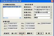
Universal coordinate conversion same coordinate conversion
1. Open the universal coordinate conversion downloaded from this site. After opening the software, click Convert within the same coordinate system in the drop-down menu.

2. Select the default coordinate type. You can choose it yourself. I take Beijing as an example.

3. Select the default central meridian position.

4. Then select the latitude and longitude-kilometer network option.

5. Select two rows of data and click [Copy] to copy the data to the memory paste version.

6. After modifying the data, click Tina and [Convert] at the bottom to complete the coordinate conversion.

FAQ
Coordinate conversion accuracy problem
Problem description: The converted coordinate accuracy does not meet expectations and there are errors.
Solution:
Check the accuracy and completeness of the entered coordinates.
Confirm whether the selected transformation parameters and model are suitable for the current transformation needs.
Try using different conversion algorithms or methods to compare and verify.
Universal coordinate conversion update content:
The official version of universal coordinate conversion has newly added terrain map slicing and number conversion modules;
The official version of universal coordinate conversion has improved modules such as mathematical statistics, permutation and combination, cumulative calculation and angle format conversion;
In the coordinate free transformation module, a new function of batch conversion of longitude and latitude formats has been added
Huajun editor recommends:
Universal coordinate conversion is a multifunctional coordinate conversion and encyclopedia calculation tool. The software can meet the needs of scientific and technological work, students and other learning work. This site also provides seven-parameter coordinate conversion, three-parameter coordinate conversion calculator, etc. for you to download.


Useful
Useful
Useful