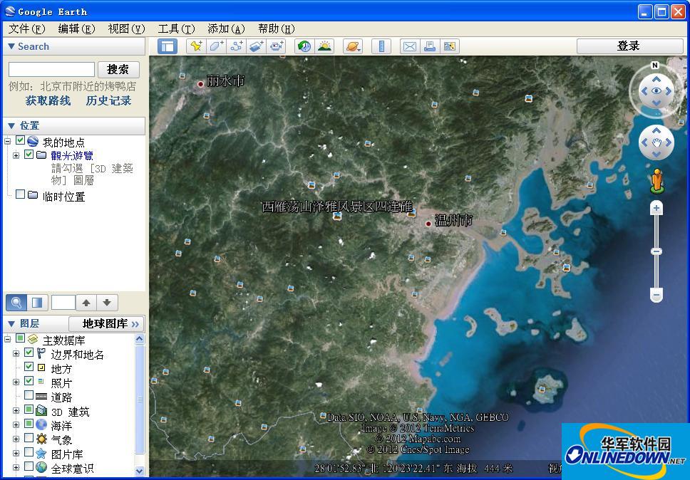
Google Earth is a virtual globe software developed by Google. You can view satellite images, maps, various terrains and 3D buildings, including the Milky Way in outer space and ocean canyons, and embark on a virtual journey to any corner of the world. , visit distant places, wander through 3D forests, travel through time and space, and return to the past.
Through it we can see the geographical features of any country on the earth. You only need to enter the specific address in the search box, and Google Earth can help you display it in the form of the latest satellite images, and even clearly display each street. The professional version can also record videos of you traveling around the world and mark your travel routes. The software also adds sunrise effects and enhanced navigation control functions.

How to use Google Earth?
1. Fixed-point viewing
Position the earth to Asia in the northern hemisphere, use the mouse to zoom in on the earth, the names of various places are clearly visible, and you can click to locate it.
2. Traffic instructions
For a strange place, especially a city. It is very important to be familiar with transportation, and the Google Earth search engine provides us with good information. For major routes, for example, if you want to go to the Capital Airport in Beijing, after checking the roads and Airports options in the lower left corner, the airport symbol and the main roads in Beijing will appear on the map.
3. Use Street View
Just turn on the Street View layer, and the geographical information of the world is at your fingertips. Whether on a computer or a mobile device, the world can be truly presented in 3D before your eyes.
Google Earth Pro version versus free version
- Suitable for professional and commercial use
- Google Earth Pro makes area survey and representation a simple matter. Enter the destination address, and you can watch Google Earth fly from the departure point to the destination, and display commercial institutions, schools, shopping malls, etc. along the way in 3D mode. You can export the simulated records of a city into video format and display these Save the record and share it with colleagues or clients
- Mature data flow technology ensures that only the area data you specify is delivered;
- Provides global landform images and 3D data - a total of more than 1000GB of high-precision satellite images of cities;
- Area search lets you search for restaurants, hotels and driving directions. It can also accurately simulate 3D demonstrations of buildings, and use the multi-layer function to flexibly query and save search results.
- The layer function of each park, school, hospital, airport, shopping mall, etc. can be displayed separately;
- Design sketches by importing road and building location information to draw as architectural blueprints;
- Ability to create annotations with lines and polygonal graphics;
- Batch upgrade to location information for over 2,500 areas via spreadsheet;
- KML bookmark sharing - provides location bookmark recording function and allows import and export, which makes GE's use and communication more convenient.
Special instructions
What this site provides is the download of the Chinese professional version of Google Earth, which integrates Google's local search and driving guide services.


it works
it works
it works