If you are looking for software to use, go to Huajun Software Park! software release AI product list

Hello, if there is a need for software inclusion, please package the software and attach the software name, software introduction, software-related screenshots, software icon, soft copy, business license (if you do not have a business license, please provide the front and back of the corresponding developer ID card and a photo of yourself holding the ID card), and send it to email http://softwaredownload4.com/sbdm/user/login

Close >>

Send to email:news@onlinedown.net

Close >>

Location: Home pageAndroid softwareApplicationmap navigation See the world with 3D satellite map

0%

0%
QR code

Scan the QR code to access the mobile version

Permissions: View

The following important permissions need to be called
No hardening or unknown hardening
INTERNET<访问网络> Access network connections, which may generate GPRS traffic
ACCESS_GPS<未知权限>Unknown permissions
ACCESS_LOCATION_EXTRA_COMMANDS<访问定位额外命令> Allows programs to access additional positioning provider directives
ACCESS_FINE_LOCATION<获取精确位置> Receive satellite positioning information through the GPS chip, with positioning accuracy within 10 meters
ACCESS_WIFI_STATE<获取WiFi状态> Get the current WiFi access status and WLAN hotspot information
ACCESS_NETWORK_STATE<获取网络状态> Get network information status, such as whether the current network connection is valid
CHANGE_WIFI_STATE<改变WiFi状态> Change WiFi status
ACCESS_COARSE_LOCATION<获取错略位置> The user's incorrect longitude and latitude information is obtained through WiFi or mobile base stations. The positioning accuracy is approximately 30 to 1500 meters.
MANAGE_LOCATION_POLICY<未知权限>Unknown permissions
REQUEST_INSTALL_PACKAGES<未知权限>Unknown permissions
CHANGE_NETWORK_STATE<改变网络状态> Change the network status such as whether it can connect to the Internet
QUERY_ALL_PACKAGES<未知权限>Unknown permissions
REORDER_TASKS<排序系统任务> Reorder tasks in system Z-axis run
VIBRATE<使用振动> Allow vibration
WRITE_EXTERNAL_STORAGE<写入外部存储> Allows programs to write to external storage, such as writing files on an SD card
READ_EXTERNAL_STORAGE<访问外部存储> Permission to access external storage

See the world on 3D satellite map 1.0.0

Special area
Software size:28.79 MB
software language:Simplified Chinese
Software rating:
Software type:Domestic software
Software licensing:shareware
Update time:2024-12-31
Application platform:Android
Software classification:map navigation
version:1.0.0
Registration number:Guangdong ICP No. 2022018172-2A
Software vendor:Shenzhen Yangjiu Technology Co., Ltd.

Software introduction Related topics FAQ Download address

Basic introduction
3D satellite map to see the first logo of the world segment
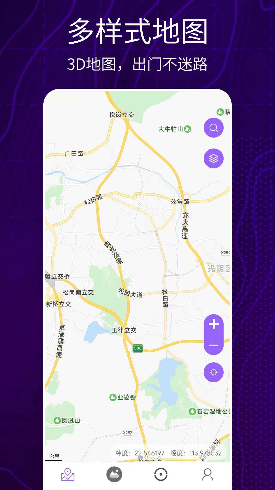
3D Satellite Map Viewing the World is a software that can view street views. It can display your real-time location and provide street views of famous domestic and foreign attractions. It also includes standard maps and satellite map layers for you to choose from. It also includes compass, GPS radar, electromagnetic detection, geographical surveying and mapping, altitude, longitude and latitude, level, and many other practical functions. Huajun Software Park provides the download address of the official version of the 3D satellite map world app. Users in need can download and use it for free!

3D satellite map to see screenshots of the world

3D satellite map to see the world software functions


[Street View Map]: Provides users with street views of famous domestic and foreign attractions for users to view, which is not real-time.

[Normal map]: Including 2D standard map, satellite map, which can realize various interactive operations of the map through button or gesture control. 

[Electromagnetic Detection]: Provides users with electromagnetic detection function, which can display the electromagnetic intensity of accessories. 

[Geographic Surveying and Mapping]: Provides users with geographical surveying and mapping functions. Users can select points on the map and then check the distance between two points to perform surveying and mapping. 

[GPS Radar]: Provides users with GPS radar function, showing the number and accuracy of satellites that the mobile phone can search. 

[Compass]: Provides users with a compass function, which can be turned on at any time, making travel more convenient. 

[Latitude and longitude]: Provide users with the latitude and longitude function to check their own longitude and latitude at any time, making it more convenient to use.
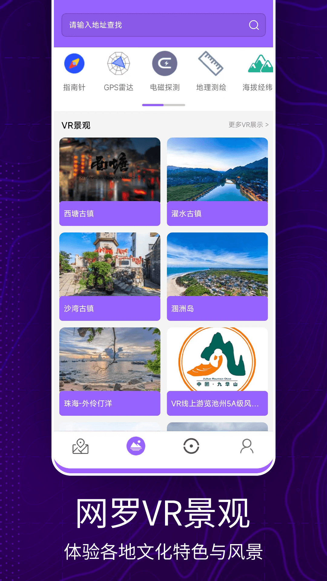
3D satellite map to see screenshots of the world

3D satellite map to see the world update log:


1. Optimize content

2. The details are more outstanding and bugs are gone.

Huajun editor recommends:

Huajun Software Park also has popular software with the same functions as this software, such as:Aotu Car Rental,Google Earth 2021,Tantu offline map,OnStar,360 search mapWait, you can collect it if you need it!

FAQ