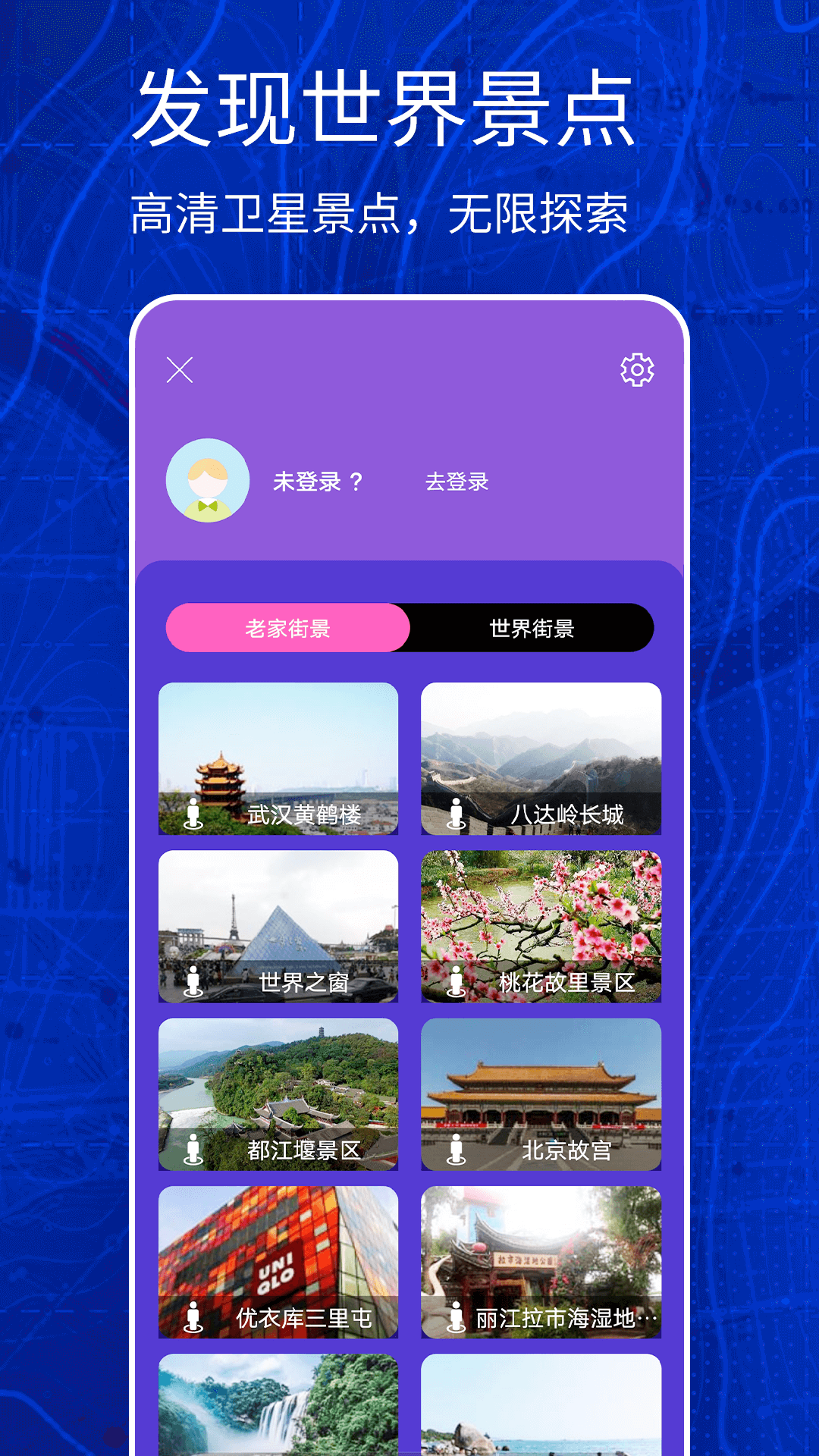
Software features
1. Using satellite photography, satellite aerial photography, satellite data processing, etc., it will be integrated into lightweight applications in the form of satellite maps, allowing you to have a bird's-eye view of the earth from the air and discover the beauty of the earth.
2. By searching for cities and locations, browse various satellite layers including roads, cityscapes, locations, earth panoramic photos, etc.
3. View satellite images, maps, terrain and 3D buildings, you can explore rich geographical knowledge, save the places you visited and share them with others.
4. Enjoy visiting cities and landforms composed entirely of satellite images, including Guangzhou, Shenzhen, Beijing, Shanghai, etc. Discover exciting images of scenic spots and plan your city tours.
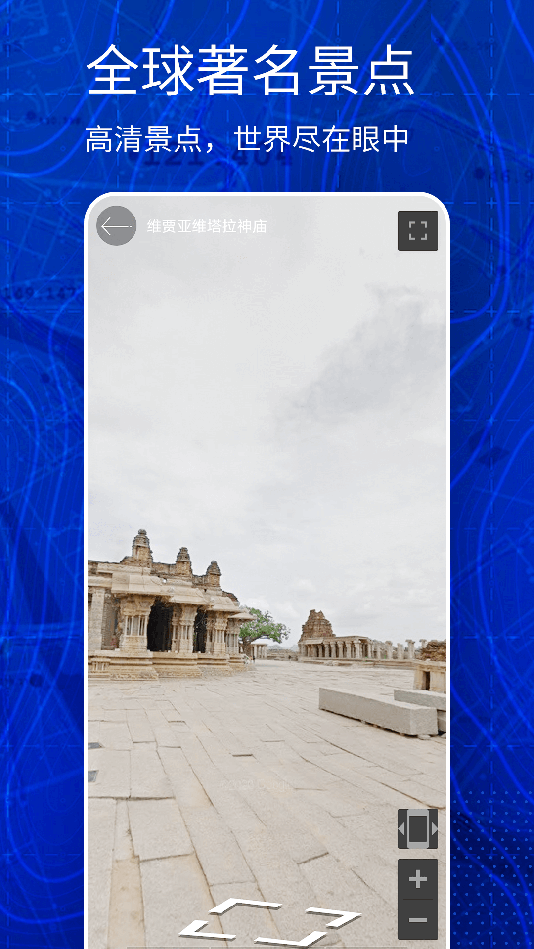
Earth satellite map update log:
1. Fixed several bugs;
2. Optimize details;
Huajun editor recommends:
Earth Satellite Map is so easy to use. It is one of the best software in map navigation. I believe friends who have used it will say that it is easy to use. If you don’t like it, we still have it.Aotu Car Rental,Tantu offline map,OnStar,Xingruan Auto Link,360 search map


 You may like








Your comment needs to be reviewed before it can be displayed