


Official version of Tiantu Image
The official version of Tiantu Image is a very practical and clear satellite imaging tool. Tiantu Image can not only browse image data (or other raster data on the server), but also download data by drawing rectangular frames, lower left and upper right corner coordinates. The operation of Sky Map image is simple. After opening it, click the right button of the mouse to set the coordinates, and then you can browse the Sky Map image data. Huajun Software Park provides downloading services for Tiantu images. To download other versions of Tiantu images, please go to Huajun Software Park!
Basic introduction to sky map images
"Tiantu" is a comprehensive geographical information service website built by the National Bureau of Surveying, Mapping and Geographic Information. It is an important part of "Digital China" and the public version of the national geographic information public service platform. The purpose of "Heaven Map" is to promote the sharing and efficient use of geographical information resources, improve the public service capabilities and levels of surveying and mapping geographical information, improve the service methods of surveying and mapping geographical information results, better meet the needs of national informatization construction, and provide convenience for the work and life of the public.
Tiantu imaging software functions
You can browse and download image data (or other raster data on the server)
Download data with TFW and JGW coordinate files
It can be read by cad and arcgis and converted into other formats
You can download data by drawing a rectangular frame, lower left and upper right corner coordinates
Tiantu Image Installation Instructions
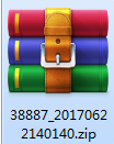
1. Download the Tiantu image in Huajun Software Park and you will get a software compressed package.
2. We need to decompress the software compressed package and get the ColRowNum.exe application.
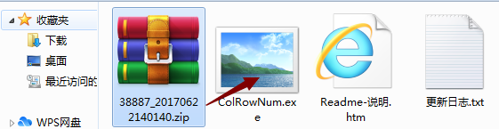
3. Finally, double-click to open the ColRowNum.exe application and you can use it.

Instructions for using sky map images
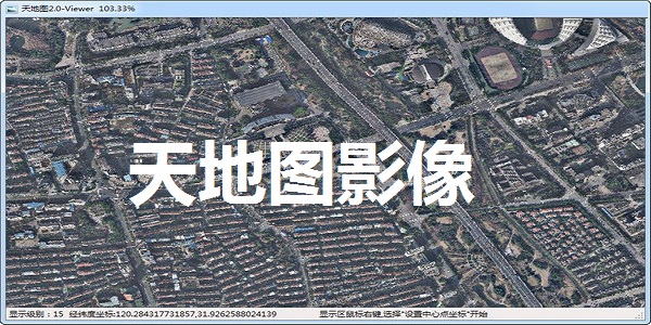
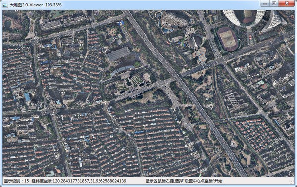
Right-click the mouse to set the geodetic longitude and latitude coordinates of the center point in the local country's 2000 coordinates, and you can browse image data (or other raster data on the server). Data can be downloaded by drawing a rectangular frame, lower left and upper right corner coordinates. The downloaded data can be read by arcgis and saved in other formats.
Comparison of similar software
Ovi interactive map browserIt is a powerful map browser. The PC version of Ovi Interactive Map supports Baidu Map, Sogou Map, Google Map, etc. You can switch to the map that suits you and download it. Not only that, the computer version of Ovi Interactive Map also has features such as offline map download, elevation data service, and multi-platform, which can bring you an efficient and convenient use experience.
Beidou Satellite Map 2021The computer version is a very popular and professional satellite map software. The Beidou Satellite Map 2021 computer version aims to promote the development of satellite navigation technology and is currently widely used in various fields. The latest version of Beidou Satellite Map 2021 has a precise timing function. The software supports browsing high-resolution satellite images, regional search, map China positioning, map sharing and other functions. It is a lightweight tool application for remote sensing business.
Huajun editor recommends:
EOSInfo can view Canon camera shutter times, including camera serial number, firmware version, factory date, etc., allowing users to easily identify the authenticity of the camera through data. Tiantu imaging software is a software with excellent performance, which is obvious to all. Come and choose your favorite one!


Useful
Useful
Useful