Map2Shp software is a conversion tool that converts Zhongdi Company's MapGis graphic files into ESRI Company's Shape format. It provides a full set of functions such as format conversion, projection transformation, automatic attribute correction, topology inspection, etc., which can effectively prevent information loss and destruction during the conversion process, and provides great convenience for the rapid conversion and release of result drawings.
The MapGis software of Zhongdi Company is one of the outstanding GIS software in China and is widely used by scientific and technological workers, especially geoscientists. The software has provided the function of converting to Shape format from version 6.5 and above, but its support is not very complete. During the conversion process, there are problems such as loss of projection information, loss of graphics elements, omission of attribute fields, garbled attributes, etc., and even the file cannot be converted, or the ArcGis software cannot recognize it after conversion, etc., which seriously affects the sharing and application of geographical data. The Map2Shp software was developed specifically to address these issues. Based on ESRI's latest Shape file specification, the algorithm is stable, the format is compatible, and the above problems do not exist at all. It performs attribute correction and topology inspection during the conversion process, and can also maintain the original projection information. According to the needs of the engineering project, the field or file name conversion rules can be customized to fully comply with the ARCGIS database construction requirements, ensuring that the conversion process is foolproof, and therefore more suitable for the needs of large-scale data conversion in the actual data production process.
Features 1. Perfectly supports Shape format conversion of point, line, area, and table files of MapGis6.x version.
2. It has the ability to differentiate between MapGis point files, convert submaps and annotations separately, and record annotation text.
3. Carry out spatial geometry inspection on MapGis primitives to make them comply with Shape space rules to facilitate subsequent professional applications.
4. Transforming MapGis projection information into ARCGIS can directly identify the projection system.
5. Perform attribute conversion losslessly, and perform value verification and error correction (null value, space, special character verification) during conversion.
6. Supports visual expression information conversion, and can maintain expression information such as graphic element size, angle, line width, color, etc. across platforms.
7. Perfectly solves the cross-platform conversion of annotation information, supporting annotation fonts, colors, fonts, superscripts and subscripts, etc., with first-class effects.
8. Directly identify the mapgis color library, support CMYK and spot color information, and achieve lossless conversion of colors.
9. According to the requirements of engineering projects, the conversion rules of file names, field names, suffixes and even legend libraries can be customized.
10. Supports command line mode, which can convert files in background hidden mode. The command line supports all features of the professional version.
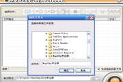
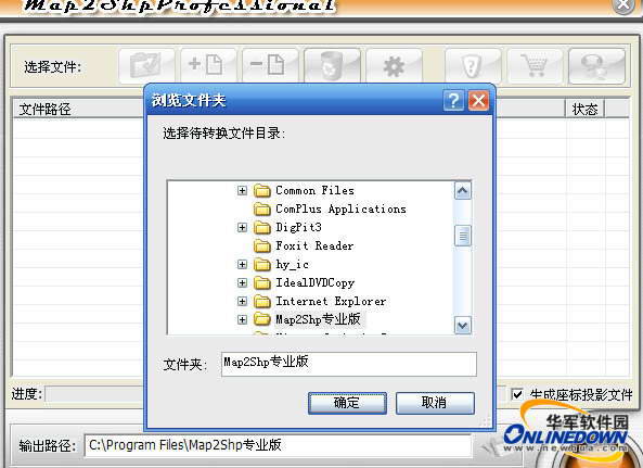
11. Multiple folders can be selected for format conversion at the same time to achieve "one-click completion" of massive data.
12. The conversion process has complete log records, error messages are prompted one by one, and every detail of the conversion process is mastered.
13. The system directly performs disk operations on MapGis files, and the conversion speed is extremely fast, with a single layer conversion time reaching milliseconds.
14. It does not depend on the MapGis system and can be run on any computer.
Thank you very much for choosing Map2Shp. With the continuous support and help of the majority of users, and through our continued efforts, Map2Shp has developed to the current version 5.x. The 5.x version inherits the previous features of friendly interface and ease of use, with continuously enhanced functions, higher data accuracy, and more stable performance. In addition, it also provides perfect support for projection, annotation symbols, and graphical expressions, which not only ensures the complete conversion of user data, but also realizes cross-platform lossless conversion of expressed information.
Unregistered software limits the number of objects that can be processed in a single file, and the conversion results are incomplete. To register software, please contact the software developer. Registered users enjoy free upgrade services within major versions. Wholesale is negotiated separately.
If you have any questions, please contact the Map2Shp development team, we will be at your service at any time.