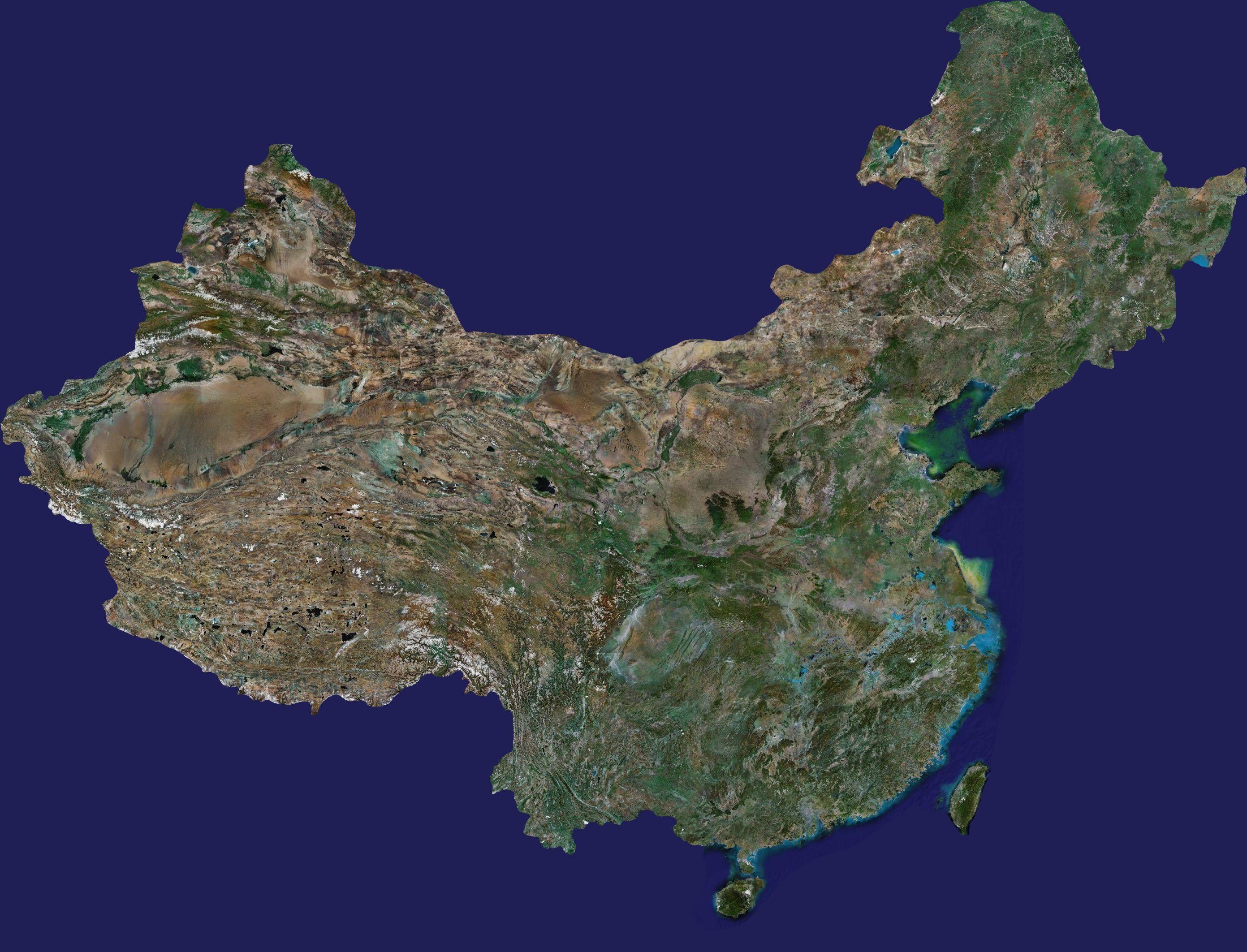
Satellite map collection
PC software
Android software
ios software

Google satellite map downloader


2024-10-31
Download tools
|
38.87MB
|
v29.6.3.0 official latest version

Bing satellite map free downloader


2021-03-26
Download tools
|
26.72MB
|
X2.2(build807)

Shuijingzhu Bing satellite map downloader


2016-09-08
Download tools
|
33284KB
|
X2.3(Build1221)

Shui Jing Zhu Yahoo Satellite Map Downloader


2016-09-08
Download tools
|
33392KB
|
X2.3(Build1221)

Shuijingzhi Nokia satellite map downloader


2016-09-08
Download tools
|
33235KB
|
X2.3(Build1221)

Tencent map


2024-09-06
map navigation
|
156.4 MB
|
10.10.5
Related articles
- Detailed usage process of Google satellite map downloader
- How to modify the navigation perspective on Amap - How to modify the navigation perspective on Amap
- How to add a location to Amap - How to add a location to Amap
- How to modify the voice package of Amap - How to modify the voice package of Amap
- How to add a license plate number to Amap - How to add a license plate number to Amap
- How to set your own voice for the Amap voice pack - How to set your own voice for the voice pack
